|
SEE ALSO:
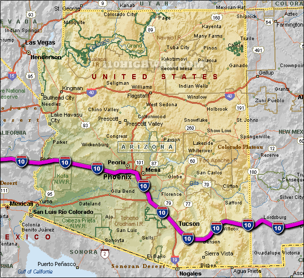
i-10 Arizona Traffic Map.
The i-10 travels across Arizona in generally a east - west direction
... to the west; the i-10 travels into the state of
California,
and to the east; the i-10
travels into the state of New Mexico.
The total distance of the i-10 across the state of Arizona is approx. 392
miles long, which requires an approx. driving time of 6 hours and 32 minutes to complete when driving an average speed of 60 miles
per hour.
See also: Regional i-10 Arizona traffic maps;
Avondale,
Benson,
Bowie,
Buckeye,
Casa Grande,
Casas Adobes,
Centura West,
Chandler,
Ehrenberg,
Eloy,
Guadalupe,
Phoenix,
Sun Lakes,
Tempe,
Tucson,
and Willcox.
|